HOW IT WORKS

step_1

Create free account

step_2

Get insights

step_3

Take action


VINEYARDS

precision viticulture

viniculture_steps_1

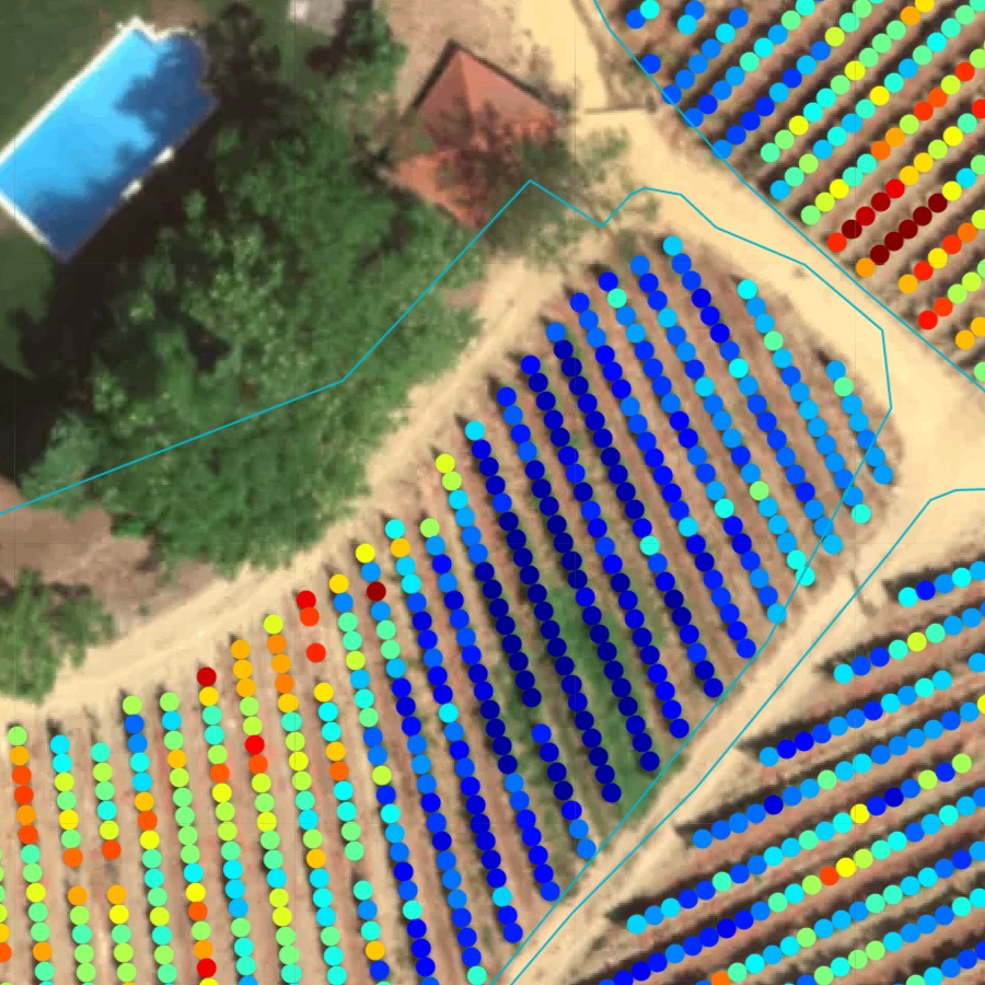
Detect, locate and count vine gaps

  • know the actual number of vines
  • know where to apply resources
  • know the number and location of vine gaps
viniculture_steps_2

Guided scouting & sampling

  • get satellite updates every 5 days
  • detect problems before they are visible
  • scout suspicious locations more efficiently
  • sample key locations based on vine vigour
  • take and share geo-located field notes
  • reduce losses
  • save on pesticides & herbicides
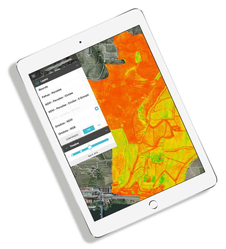
viniculture_steps_3

Create operations

  • understand intra-parcel variability
  • create different management zones automatically
  • apply the right amount in the right place
  • use the app in your tractor
  • works without VRT or GPS-equiped tractors
  • save on inputs
  • monitor application & impacts
viniculture_steps_4

Selective harvesting

  • assess intra-parcel grape quality and yield variability
  • create different harvest zones automatically based on quality
  • adjust zone sizes to meet quality and quantity targets
  • use app on harvesting machine or to mark zones on the field
  • produce different quality wines and increase returns for the same area
logo_white

mobile app

Watch how it works

Advantages

Plant-level NDVI
(excludes inter-row vegetation
and other interferences)
Early detection of pests &
diseases
Fusion of satellite 
and drone data
Assess grape quality
and yield estimates from the air
Vine health updates
every 5 days

OLIVE OIL, FRUITS & NUTS

precision agriculture

arrow_white

FORESTRY

precision forest management

arrow_white

Blog

TECHNOLOGY

Algoritmos

Algoritmos

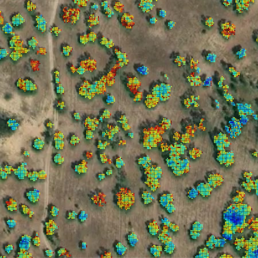
  • Para lá dos dados de detecção remota:
    • altura de árvores, contagem, área de cobertura
    • estimativas de volume de madeira e stock de carbono
    • estimativas de produtividade e stress hídrico
    • detecção precoce de pestes & doenças

Icons

Visão Computacional

Visão Computacional

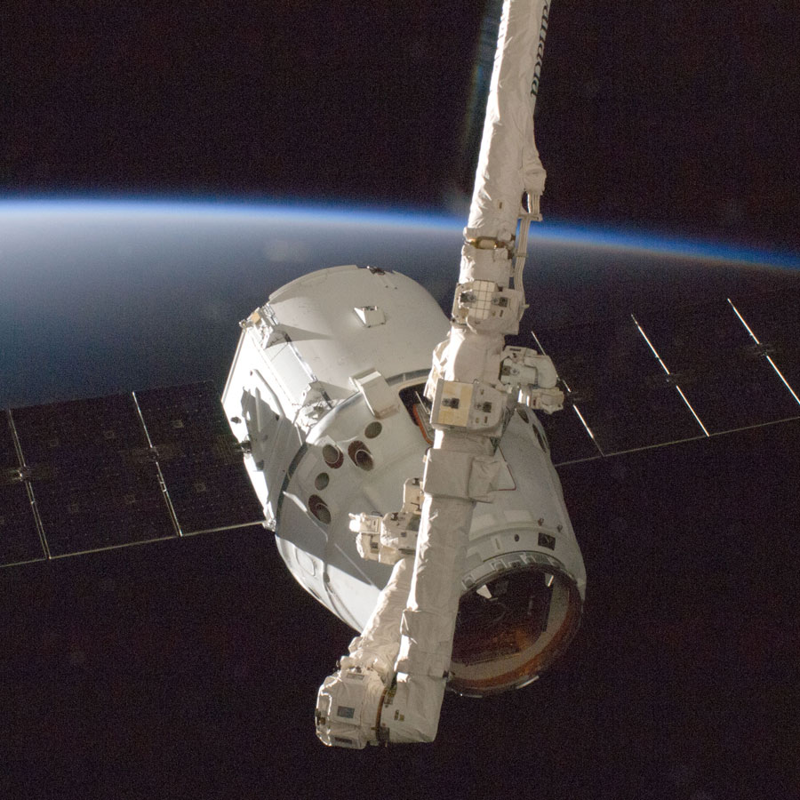
  • Das imagens aos dados: a nossa tecnologia de visão computacional desenvolvida originalmente para aplicações espaciais como aterragem na Lua e Marte está agora integrada no MAPP:
    • detecção e probabilidade de derrocadas
    • segmentação de árvores-arbustos-solo
    • métricas ao nível da planta

Icons

Drone

Drone

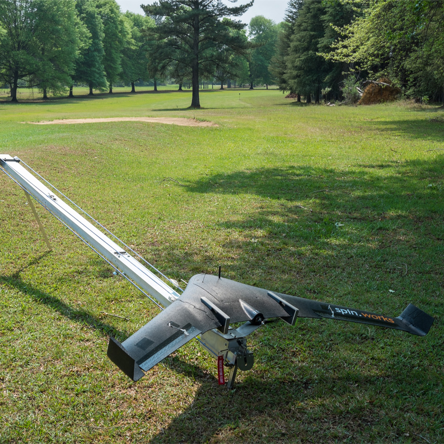
  • Micro drone S20: uma ferramenta de alta-produtividade para aquisição de imagens de alta-resolução, com pegada logística mínima e operável em qualquer local.
    • Payload RGB
    • Payload NIR (Infra-vermelho próximo)
    • Payload térmico (Infra-vermelho térmico)
    • Produtividade de 200ha/h a 100mAGL
    • 5cm/pixel a 100mAGL

Icons

Satélite

Satélite

  • Dados de Sentinel-2 corrigidos: os satélites gémeos Sentinel-2A e Sentinel-2B são parte de uma missão de observação da Terra desenvolvida pela ESA como parte do Programa Copernicus para suportar serviços de monitorização florestal, alterações na ocupação do solo e gestão de desastres naturais.
    • Payload Multiespectral (R,G,B,NIR,RedEdge,SWIR)
    • 12 bandas (440-2200 nm)
    • 10-60 m/pixel
    • 5 dias de tempo de revisita

Icons

PORT WINE

Technology and tradition meet in the Douro Valley. Using remote sensing for precision management of vineyards and selective harvesting.

CORN

Technology and tradition meet in the Douro Valley. Using remote sensing for precision management of vineyards and selective harvesting.

modelos-barras-fundos-v04_3logos-feder-1200px

Contacts

Rua de Fundões 151
3700-121 S. João da Madeira, Portugal

Contact Us

We're not around right now. But you can send us an email and we'll get back to you, asap.

¿No se puede leer? Cambiar texto.

Comience a escribir y pulse Intro para buscar